
Snap-ind topographic map
Interactive map
Click on the map to display elevation.
About this map
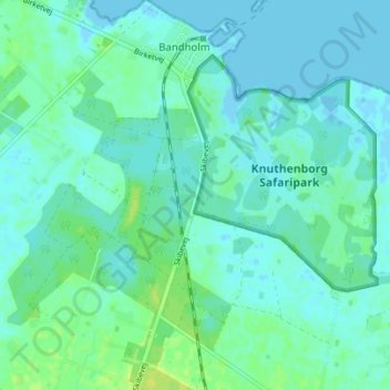
Name: Snap-ind topographic map, elevation, terrain.
Location: Snap-ind, Lolland Kommune, Región de Selandia, 4941, Dinamarca (54.80118 11.46494 54.84118 11.50494)
Average elevation: 13 ft
Minimum elevation: -10 ft
Maximum elevation: 46 ft