
Cittaducale topographic map
Interactive map
Click on the map to display elevation.
About this map
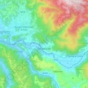
Name: Cittaducale topographic map, elevation, terrain.
Location: Cittaducale, Rieti, Lazio, 02015, Italy (42.33805 12.90302 42.44714 13.05410)
Average elevation: 2,369 ft
Minimum elevation: 1,276 ft
Maximum elevation: 5,499 ft