
Paradela topographic map
Interactive map
Click on the map to display elevation.
About this map
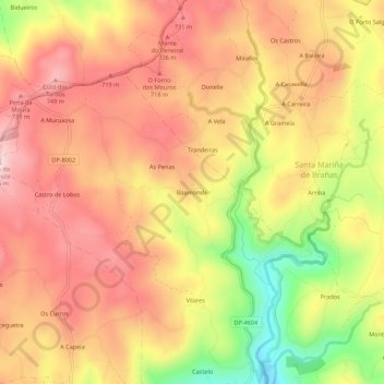
Name: Paradela topographic map, elevation, terrain.
Location: Paradela, Baamonde, Terra de Melide, Galicia, 15806, España (42.98005 -7.98459 43.02005 -7.94459)
Average elevation: 2,142 ft
Minimum elevation: 1,565 ft
Maximum elevation: 2,503 ft