
Santa Cruz topographic map
Interactive map
Click on the map to display elevation.
About this map
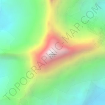
Name: Santa Cruz topographic map, elevation, terrain.
Location: Santa Cruz, Huaylas, Ancash, Peru (-8.89433 -77.70912 -8.89423 -77.70902)
Average elevation: 17,231 ft
Minimum elevation: 15,315 ft
Maximum elevation: 20,269 ft
Other topographic maps
Click on a map to view its topography, its elevation and its terrain.
Alpamayo
Peru > Ancash > Santa Cruz
Alpamayo, Santa Cruz, Huaylas, Ancash, Peru
Average elevation: 17,093 ft