
Sobradelo topographic map
Interactive map
Click on the map to display elevation.
About this map
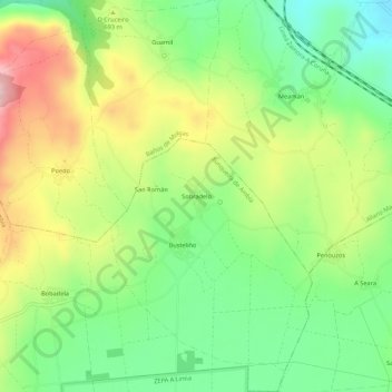
Name: Sobradelo topographic map, elevation, terrain.
Location: Sobradelo, Ourense, Galizia, 32701, Spagna (42.16893 -7.69204 42.20893 -7.65204)
Average elevation: 2,165 ft
Minimum elevation: 1,821 ft
Maximum elevation: 2,657 ft