
Santana topographic map
Interactive map
Click on the map to display elevation.
About this map
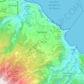
Name: Santana topographic map, elevation, terrain.
Location: Santana, Madeira, Madère, Portugal (32.76326 -16.92105 32.83051 -16.85449)
Average elevation: 1,312 ft
Minimum elevation: -10 ft
Maximum elevation: 5,210 ft