Geolocate

Baxter topographic map

Click on the map to display elevation.

About this map

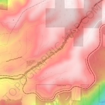
Name: Baxter topographic map, elevation, terrain.

Location: Baxter, Placer County, California, United States (39.19295 -120.80105 39.23295 -120.76105)

Average elevation: 4,042 ft

Minimum elevation: 2,054 ft

Maximum elevation: 4,613 ft

Placer County trails, hiking, mountain biking, running and outdoor activities

Other topographic maps

Click on a map to view its topography, its elevation and its terrain.

Avery's Pond

United States > California > Placer County

Average elevation: 620 ft

Tahoe Vista

United States > California > Placer County > Kings Beach

Average elevation: 6,644 ft

Lincoln

United States > California > Placer County

Average elevation: 112 ft

Dollar Point

United States > California > Placer County

Average elevation: 6,414 ft

Auburn Ravine

United States > California > Placer County > Auburn

Average elevation: 814 ft

Deer Lake

United States > California > Placer County

Average elevation: 6,624 ft

Lincoln

United States > California > Placer County

Average elevation: 197 ft

Gear up for your next adventure:

🌡️Handheld Weather Meters - Measure wind, temp, and pressure for safe mountain travel
⛑️Personal Locator Beacon - Safety beacon for emergencies
🪶Survival Guide Book - Expert advice for emergency preparedness
🛠️Outdoor Gear Repair Kit - Essential tools to fix gear on the trail
🧥Waterproof Jacket for Hiking - Breathable and rugged rain jacket for outdoor excursions

As an Amazon Associate, this site earns from qualifying purchases at no extra cost to you.