
Aiguille Rouge topographic map
Interactive map
Click on the map to display elevation.
About this map
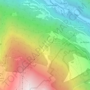
Name: Aiguille Rouge topographic map, elevation, terrain.
Average elevation: 4,993 ft
Minimum elevation: 2,907 ft
Maximum elevation: 7,743 ft
Other topographic maps
Click on a map to view its topography, its elevation and its terrain.
Mont Pourri
France > Auvergne-Rhône-Alpes > Villaroger
Mont Pourri, Villaroger, Albertville, Savoy, Auvergne-Rhône-Alpes, Metropolitan France, 73640, France
Average elevation: 10,125 ft