
Sarthebari topographic map
Interactive map
Click on the map to display elevation.
About this map
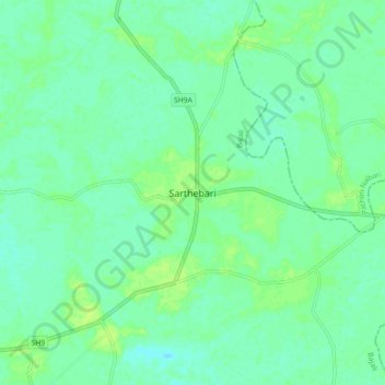
Name: Sarthebari topographic map, elevation, terrain.
Location: Sarthebari, Bajali, Assam, 781307, India (26.32925 91.18333 26.40925 91.26333)
Average elevation: 135 ft
Minimum elevation: 118 ft
Maximum elevation: 154 ft