
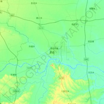
息县 topographic map
Interactive map
Click on the map to display elevation.
About this map
Name: 息县 topographic map, elevation, terrain.
Location: 息县, 谯楼街道, 息县, 信阳市, 河南省, 中国 (32.18686 114.56747 32.50686 114.88747)
Average elevation: 171 ft
Minimum elevation: 105 ft
Maximum elevation: 400 ft