
阿克陶县 topographic map
Interactive map
Click on the map to display elevation.
About this map
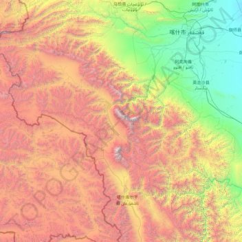
Name: 阿克陶县 topographic map, elevation, terrain.
Location: 阿克陶县, 克孜勒苏柯尔克孜自治州, Xinjiang, China (37.65120 73.49973 39.48403 76.60990)
Average elevation: 11,083 ft
Minimum elevation: 3,940 ft
Maximum elevation: 24,797 ft