
Montaz topographic map
Interactive map
Click on the map to display elevation.
About this map
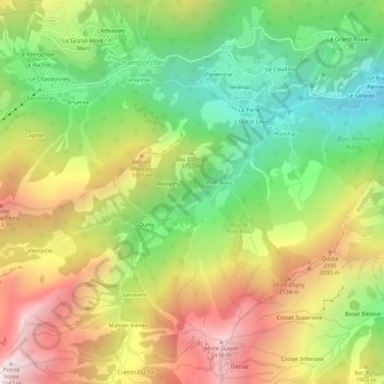
Name: Montaz topographic map, elevation, terrain.
Location: Montaz, Champorcher, Valle d'Aosta, Italia (45.59036 7.60856 45.63036 7.64856)
Average elevation: 5,627 ft
Minimum elevation: 3,419 ft
Maximum elevation: 8,297 ft