
Kadirapura topographic map
Interactive map
Click on the map to display elevation.
About this map
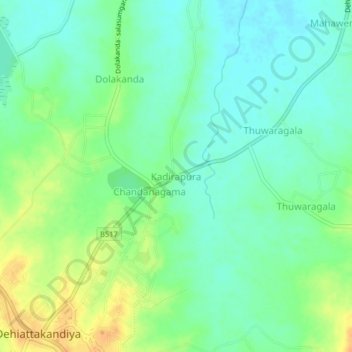
Name: Kadirapura topographic map, elevation, terrain.
Location: Kadirapura, Ampara District, Eastern Province, Sri Lanka (7.66940 81.03673 7.70940 81.07673)
Average elevation: 230 ft
Minimum elevation: 187 ft
Maximum elevation: 295 ft