
白杨沟 topographic map
Interactive map
Click on the map to display elevation.
About this map
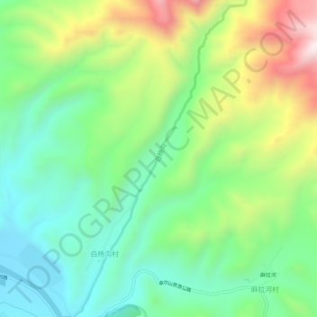
Name: 白杨沟 topographic map, elevation, terrain.
Location: 白杨沟, 白杨沟村, 祁连县, 海北藏族自治州, 青海省, 中国 (38.19136 100.24424 38.23085 100.27184)
Average elevation: 9,649 ft
Minimum elevation: 8,812 ft
Maximum elevation: 11,227 ft