
Shiv Vihar topographic map
Interactive map
Click on the map to display elevation.
About this map
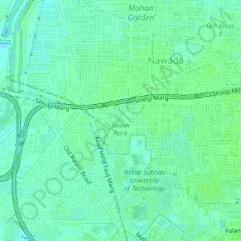
Name: Shiv Vihar topographic map, elevation, terrain.
Location: Shiv Vihar, Patel Nagar Tehsil, West Delhi, Delhi, India (28.61716 77.03477 28.61800 77.03570)
Average elevation: 705 ft
Minimum elevation: 689 ft
Maximum elevation: 712 ft
Other topographic maps
Click on a map to view its topography, its elevation and its terrain.
Sector 5
India > Delhi > Patel Nagar Tehsil > Dwarka
Sector 5, Dwarka, Patel Nagar Tehsil, West Delhi, Delhi, India
Average elevation: 705 ft
Raghubir Nagar
India > Delhi > Patel Nagar Tehsil
Raghubir Nagar, Patel Nagar Tehsil, West Delhi, Delhi, India
Average elevation: 712 ft
Janakpuri
India > Delhi > Patel Nagar Tehsil
Janakpuri, Patel Nagar Tehsil, West Delhi, Delhi, 110058, India
Average elevation: 712 ft
Hastsal Village
India > Delhi > Patel Nagar Tehsil
Hastsal Village, Patel Nagar Tehsil, West Delhi, Delhi, 110059, India
Average elevation: 705 ft