Utvorden fort Sør topographic map
Interactive map
Click on the map to display elevation.
About this map
Name: Utvorden fort Sør topographic map, elevation, terrain.
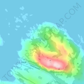
Average elevation: 131 ft
Minimum elevation: -23 ft
Maximum elevation: 879 ft

Click on the map to display elevation.
Name: Utvorden fort Sør topographic map, elevation, terrain.
Average elevation: 131 ft
Minimum elevation: -23 ft
Maximum elevation: 879 ft