
Hassani Abdelkrim topographic map
Interactive map
Click on the map to display elevation.
About this map
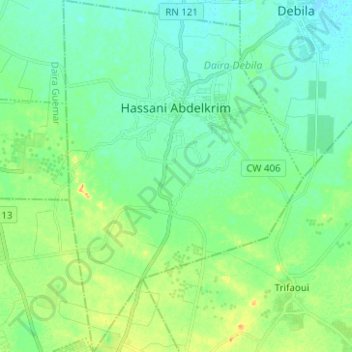
Name: Hassani Abdelkrim topographic map, elevation, terrain.
Location: Hassani Abdelkrim, Daïra Debila, El Oued, Algérie (33.40487 6.85492 33.50895 6.93992)
Average elevation: 220 ft
Minimum elevation: 184 ft
Maximum elevation: 299 ft