
El Assafia topographic map
Interactive map
Click on the map to display elevation.
About this map
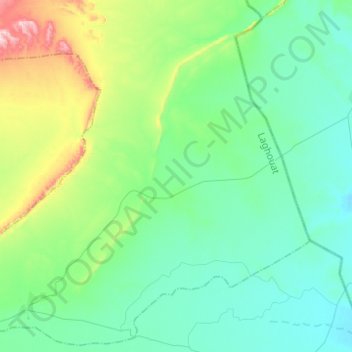
Name: El Assafia topographic map, elevation, terrain.
Location: El Assafia, Daïra Sidi Makhlouf, Laghouat, Algérie (33.80413 2.94254 34.00179 3.18906)
Average elevation: 2,536 ft
Minimum elevation: 2,251 ft
Maximum elevation: 3,632 ft