
Hawkeye Point topographic map
Click on the map to display elevation.
About this map
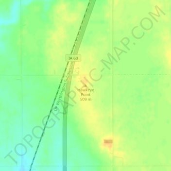
Name: Hawkeye Point topographic map, elevation, terrain.
Location: Hawkeye Point, Osceola County, Iowa, United States (43.45992 -95.70895 43.46002 -95.70885)
Average elevation: 1,634 ft
Minimum elevation: 1,585 ft
Maximum elevation: 1,673 ft
Osceola County trails, hiking, mountain biking, running and outdoor activities
Other topographic maps
Click on a map to view its topography, its elevation and its terrain.
Ocheyedan
United States > Iowa > Osceola County
There is a common misconception that the highest point in Iowa is the Ocheyedan Mound, located near Ocheyedan. The Ocheyedan Mound rises to 1,655 feet above sea level, just fifteen feet short of the actual highest point in Iowa, Hawkeye Point, which has an elevation of 1,670 feet.
Average elevation: 1,552 ft