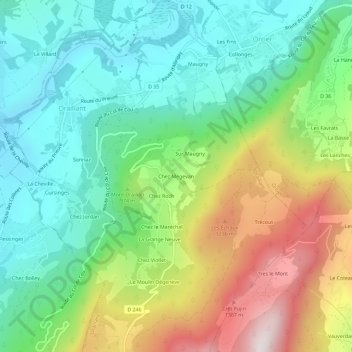
Chez Mégevan topographic map
Interactive map
Click on the map to display elevation.
About this map
Name: Chez Mégevan topographic map, elevation, terrain.
Average elevation: 2,897 ft
Minimum elevation: 1,847 ft
Maximum elevation: 4,915 ft

Click on the map to display elevation.
Name: Chez Mégevan topographic map, elevation, terrain.
Average elevation: 2,897 ft
Minimum elevation: 1,847 ft
Maximum elevation: 4,915 ft