
Gaby topographic map
Interactive map
Click on the map to display elevation.
About this map
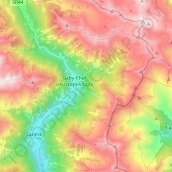
Name: Gaby topographic map, elevation, terrain.
Location: Gaby, Valle d'Aosta, Italia (45.68124 7.81644 45.73952 7.93755)
Average elevation: 6,030 ft
Minimum elevation: 2,963 ft
Maximum elevation: 8,953 ft