
Coney topographic map
Interactive map
Click on the map to display elevation.
About this map
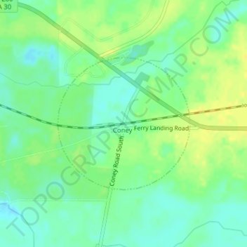
Name: Coney topographic map, elevation, terrain.
Location: Coney, Crisp County, Géorgie, États-Unis d'Amérique (31.94947 -83.89214 31.96394 -83.87508)
Average elevation: 272 ft
Minimum elevation: 240 ft
Maximum elevation: 305 ft