
Sengkurong A topographic map
Interactive map
Click on the map to display elevation.
About this map
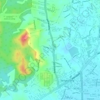
Name: Sengkurong A topographic map, elevation, terrain.
Average elevation: 69 ft
Minimum elevation: 7 ft
Maximum elevation: 259 ft
Other topographic maps
Click on a map to view its topography, its elevation and its terrain.
Sengkurong
Sengkurong, Mukim Sengkurong, Brunei-Muara District, BG1121, Brunei
Average elevation: 82 ft