
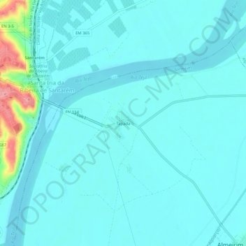
Tapada topographic map
Interactive map
Click on the map to display elevation.
About this map
Name: Tapada topographic map, elevation, terrain.
Location: Tapada, Almeirim, Santarém, 2000-081, Portugal (39.21054 -8.67651 39.25054 -8.63651)
Average elevation: 49 ft
Minimum elevation: 0 ft
Maximum elevation: 371 ft