
State Coal Mine Historic and Cultural Features Reserve topographic map
Interactive map
Click on the map to display elevation.
About this map
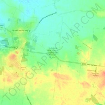
Name: State Coal Mine Historic and Cultural Features Reserve topographic map, elevation, terrain.
Average elevation: 112 ft
Minimum elevation: 39 ft
Maximum elevation: 220 ft