
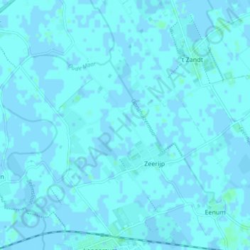
Zeerijp topographic map
Interactive map
Click on the map to display elevation.
About this map
Name: Zeerijp topographic map, elevation, terrain.
Location: Zeerijp, Loppersum, Groningen, Nederland (53.33862 6.71958 53.36997 6.79380)
Average elevation: 3 ft
Minimum elevation: -7 ft
Maximum elevation: 13 ft
Other topographic maps
Click on a map to view its topography, its elevation and its terrain.