
Cardross topographic map
Interactive map
Click on the map to display elevation.
About this map
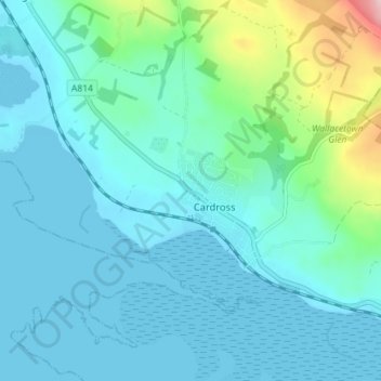
Name: Cardross topographic map, elevation, terrain.
Location: Cardross, Argyll and Bute, Scotland, G82 5PD, United Kingdom (55.94442 -4.67740 55.98442 -4.63740)
Average elevation: 115 ft
Minimum elevation: -3 ft
Maximum elevation: 725 ft