
Pārgaujas novads topographic map
Interactive map
Click on the map to display elevation.
About this map
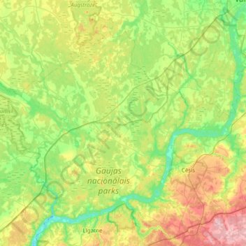
Name: Pārgaujas novads topographic map, elevation, terrain.
Location: Pārgaujas novads, Cēsu novads, Vidzeme, Latvia (57.24386 24.78512 57.50570 25.38882)
Average elevation: 246 ft
Minimum elevation: 43 ft
Maximum elevation: 682 ft
Other topographic maps
Click on a map to view its topography, its elevation and its terrain.