
Sutera Feronia topographic map
Interactive map
Click on the map to display elevation.
About this map
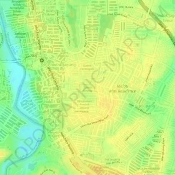
Name: Sutera Feronia topographic map, elevation, terrain.
Average elevation: 95 ft
Minimum elevation: 36 ft
Maximum elevation: 121 ft
Other topographic maps
Click on a map to view its topography, its elevation and its terrain.
Pondok Jagung
Indonesia > Banten > South Tangerang > Pondok Jagung
Pondok Jagung, South Tangerang, Banten, 15326, Indonesia
Average elevation: 92 ft