
Maama Sundha topographic map
Interactive map
Click on the map to display elevation.
About this map
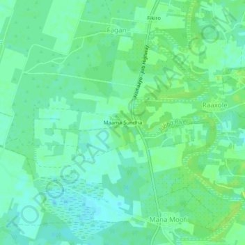
Name: Maama Sundha topographic map, elevation, terrain.
Location: Maama Sundha, Jamaame جمامة, Lower Juba, Somalia (0.08178 42.68454 0.12178 42.72454)
Average elevation: 36 ft
Minimum elevation: 16 ft
Maximum elevation: 56 ft