
Breitbrunn topographic map
Interactive map
Click on the map to display elevation.
About this map
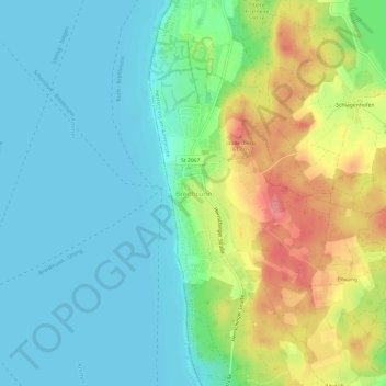
Name: Breitbrunn topographic map, elevation, terrain.
Average elevation: 1,834 ft
Minimum elevation: 1,742 ft
Maximum elevation: 2,024 ft
Other topographic maps
Click on a map to view its topography, its elevation and its terrain.
Mühlfeld
Deutschland > Bayern > Landkreis Starnberg > Herrsching am Ammersee
Mühlfeld, Herrsching am Ammersee, Wörthsee, Landkreis Starnberg, Bayern, 82237, Deutschland
Average elevation: 1,906 ft