
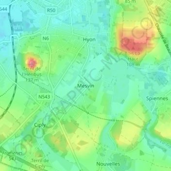
Mesvin topographic map
Interactive map
Click on the map to display elevation.
About this map
Name: Mesvin topographic map, elevation, terrain.
Location: Mesvin, Mons, Hainaut, Wallonie, 7022, Belgique (50.40837 3.94067 50.44837 3.98067)
Average elevation: 167 ft
Minimum elevation: 79 ft
Maximum elevation: 394 ft