
Okhla topographic map
Interactive map
Click on the map to display elevation.
About this map
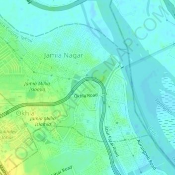
Name: Okhla topographic map, elevation, terrain.
Average elevation: 676 ft
Minimum elevation: 653 ft
Maximum elevation: 722 ft
Other topographic maps
Click on a map to view its topography, its elevation and its terrain.
Sapna Park
India > Delhi > Defence Colony Tehsil
Sapna Park, Lajpat Nagar, Defence Colony Tehsil, South East Delhi, Delhi, India
Average elevation: 725 ft
Yusuf Sarai
India > Delhi > Defence Colony Tehsil
Yusuf Sarai, Defence Colony Tehsil, South East Delhi, Delhi, India
Average elevation: 728 ft
New Friends Colony
India > Delhi > Defence Colony Tehsil
New Friends Colony, Defence Colony Tehsil, South East Delhi District, Delhi, India
Average elevation: 696 ft