
Kakamoeka topographic map
Interactive map
Click on the map to display elevation.
About this map
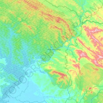
Name: Kakamoeka topographic map, elevation, terrain.
Location: Kakamoeka, Kouilou Department, Congo-Brazzaville (-4.42738 11.61854 -3.68667 12.22138)
Average elevation: 554 ft
Minimum elevation: 0 ft
Maximum elevation: 2,680 ft