
Furnias topographic map
Interactive map
Click on the map to display elevation.
About this map
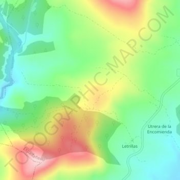
Name: Furnias topographic map, elevation, terrain.
Location: Furnias, Espadañedo, Zamora, Castile and León, Spain (42.09961 -6.42975 42.11961 -6.40975)
Average elevation: 3,553 ft
Minimum elevation: 3,235 ft
Maximum elevation: 4,042 ft