
Golgotha topographic map
Interactive map
Click on the map to display elevation.
About this map
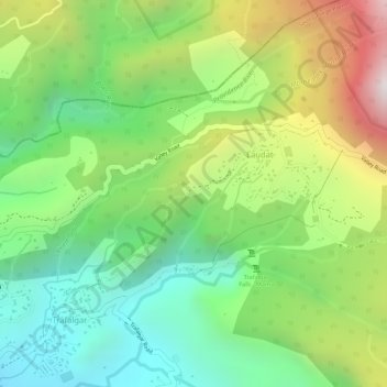
Name: Golgotha topographic map, elevation, terrain.
Location: Golgotha, Laudat, Saint George Parish, Dominica (15.32249 -61.34779 15.34249 -61.32779)
Average elevation: 1,637 ft
Minimum elevation: 463 ft
Maximum elevation: 3,350 ft
Other topographic maps
Click on a map to view its topography, its elevation and its terrain.
Sandringham Estate
Dominica > Saint George Parish > Laudat
Sandringham Estate, Laudat, Saint George Parish, Dominica
Average elevation: 2,182 ft