
Guged topographic map
Interactive map
Click on the map to display elevation.
About this map
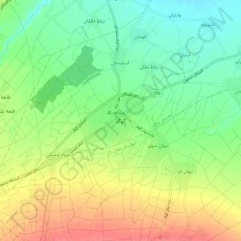
Name: Guged topographic map, elevation, terrain.
Average elevation: 5,906 ft
Minimum elevation: 5,823 ft
Maximum elevation: 6,020 ft
Other topographic maps
Click on a map to view its topography, its elevation and its terrain.
Shadegan
Iran > Isfahan Province > Golpayegan County > دهستان جلگه > Shadegan
Shadegan, دهستان جلگه, بخش مرکزی, Golpayegan County, Isfahan Province, Iran
Average elevation: 5,823 ft