
渔子溪 topographic map
Interactive map
Click on the map to display elevation.
About this map
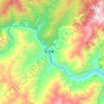
Name: 渔子溪 topographic map, elevation, terrain.
Location: 渔子溪, 耿达镇, 汶川卧龙特别行政区, 汶川县, 阿坝藏族羌族自治州, 四川省, 623000, 中国 (31.05801 103.25253 31.12315 103.40098)
Average elevation: 7,989 ft
Minimum elevation: 4,190 ft
Maximum elevation: 13,435 ft
Other topographic maps
Click on a map to view its topography, its elevation and its terrain.