
KG Leopoldstadt topographic map
Interactive map
Click on the map to display elevation.
About this map
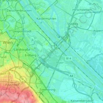
Name: KG Leopoldstadt topographic map, elevation, terrain.
Location: KG Leopoldstadt, Leopoldstadt, Vienna, 1020, Austria (48.16529 16.36746 48.23637 16.49515)
Average elevation: 561 ft
Minimum elevation: 492 ft
Maximum elevation: 830 ft