
Kemnath topographic map
Interactive map
Click on the map to display elevation.
About this map
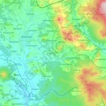
Name: Kemnath topographic map, elevation, terrain.
Average elevation: 1,742 ft
Minimum elevation: 1,407 ft
Maximum elevation: 2,743 ft
Other topographic maps
Click on a map to view its topography, its elevation and its terrain.
Unterwappenöst
Deutschland > Bayern > Landkreis Tirschenreuth > Kulmain
Unterwappenöst, Kulmain, Landkreis Tirschenreuth, Bayern, 95508, Deutschland
Average elevation: 1,870 ft