
Chokier topographic map
Interactive map
Click on the map to display elevation.
About this map
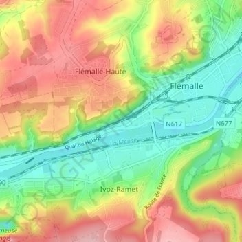
Name: Chokier topographic map, elevation, terrain.
Location: Chokier, Liège, Wallonie, 4400, Belgique (50.57354 5.43285 50.61354 5.47285)
Average elevation: 417 ft
Minimum elevation: 177 ft
Maximum elevation: 692 ft