
吉强镇 topographic map
Interactive map
Click on the map to display elevation.
About this map
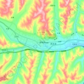
Name: 吉强镇 topographic map, elevation, terrain.
Location: 吉强镇, 西吉县, 固原市, 宁夏回族自治区, 中国 (35.92677 105.68842 36.00677 105.76842)
Average elevation: 6,572 ft
Minimum elevation: 6,194 ft
Maximum elevation: 7,103 ft