
Hollandia-plantsoen topographic map
Interactive map
Click on the map to display elevation.
About this map
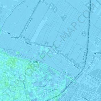
Name: Hollandia-plantsoen topographic map, elevation, terrain.
Average elevation: -3 ft
Minimum elevation: -20 ft
Maximum elevation: 10 ft
Other topographic maps
Click on a map to view its topography, its elevation and its terrain.
Kwadijk
Nederland > Noord-Holland > Kwadijk
Kwadijk, Edam-Volendam, Noord-Holland, Nederland
Average elevation: -7 ft