
Oakington topographic map
Interactive map
Click on the map to display elevation.
About this map
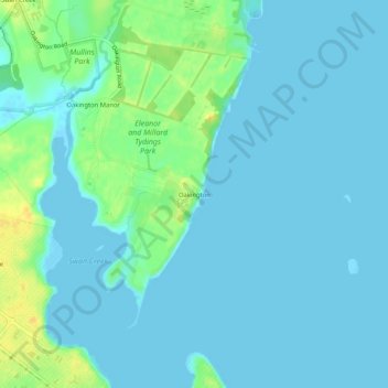
Name: Oakington topographic map, elevation, terrain.
Location: Oakington, Harford County, Maryland, 21005, USA (39.48306 -76.13393 39.52306 -76.09393)
Average elevation: 20 ft
Minimum elevation: -13 ft
Maximum elevation: 82 ft