Geolocate

Sector 43 topographic map

Click on the map to display elevation.

About this map

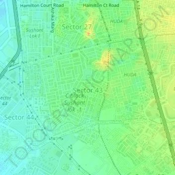
Name: Sector 43 topographic map, elevation, terrain.

Location: Sector 43, Gurgaon, Gurugram, Haryana, India (28.44732 77.07411 28.46316 77.09943)

Average elevation: 801 ft

Minimum elevation: 758 ft

Maximum elevation: 866 ft

Other topographic maps

Click on a map to view its topography, its elevation and its terrain.

Central Park

India > Haryana > Gurugram

Average elevation: 814 ft

Gear up for your next adventure:

🔌Solar Panel Charger - Charge gear sustainably outdoors
Backpacking Tents - Weight-optimized shelters for multi-day topographic surveys
🔥Fast-Boil Camping Stoves - Efficient cooking systems for quick trail meals
📦Gear Storage Bags - Organize and protect outdoor equipment
🧭Compass with Lanyard - Easy‑carry compass for navigation

As an Amazon Associate, this site earns from qualifying purchases at no extra cost to you.