
Cañada DE LOZOYA. GARGANTILLA DEL LOZOYA topographic map
Interactive map
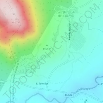
Click on the map to display elevation.
About this map
Name: Cañada DE LOZOYA. GARGANTILLA DEL LOZOYA topographic map, elevation, terrain.
Average elevation: 3,747 ft
Minimum elevation: 3,323 ft
Maximum elevation: 4,957 ft