
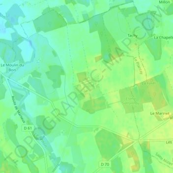
Notre-Dame des Dombes topographic map
Interactive map
Click on the map to display elevation.
About this map
Name: Notre-Dame des Dombes topographic map, elevation, terrain.
Average elevation: 909 ft
Minimum elevation: 879 ft
Maximum elevation: 942 ft