
Kyaikto Township topographic map
Interactive map
Click on the map to display elevation.
About this map
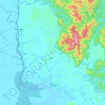
Name: Kyaikto Township topographic map, elevation, terrain.
Location: Kyaikto Township, Thaton District, Mon, Myanmar (17.23323 96.86890 17.62493 97.21585)
Average elevation: 358 ft
Minimum elevation: -7 ft
Maximum elevation: 3,537 ft
Other topographic maps
Click on a map to view its topography, its elevation and its terrain.
Shan Ywar
Myanmar > Mon > Paung Township
Shan Ywar, Paung Township, Thaton District, Mon, Myanmar
Average elevation: 66 ft