
Arões (Santa Cristina) topographic map
Interactive map
Click on the map to display elevation.
About this map
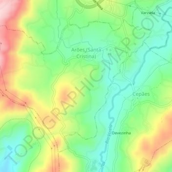
Name: Arões (Santa Cristina) topographic map, elevation, terrain.
Location: Arões (Santa Cristina), Braga, Norte, Portugal (41.42678 -8.23893 41.44887 -8.20102)
Average elevation: 988 ft
Minimum elevation: 686 ft
Maximum elevation: 1,460 ft