
Les Essards topographic map
Interactive map
Click on the map to display elevation.
About this map
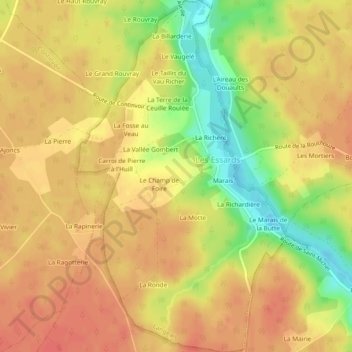
Name: Les Essards topographic map, elevation, terrain.
Average elevation: 292 ft
Minimum elevation: 174 ft
Maximum elevation: 351 ft
Other topographic maps
Click on a map to view its topography, its elevation and its terrain.
Travaille-Coquin
France > Centre-Val de Loire > Langeais > Travaille-Coquin
Travaille-Coquin, Langeais, Chinon, Indre-et-Loire, Centre-Val de Loire, France métropolitaine, 37130, France
Average elevation: 246 ft